Getting There
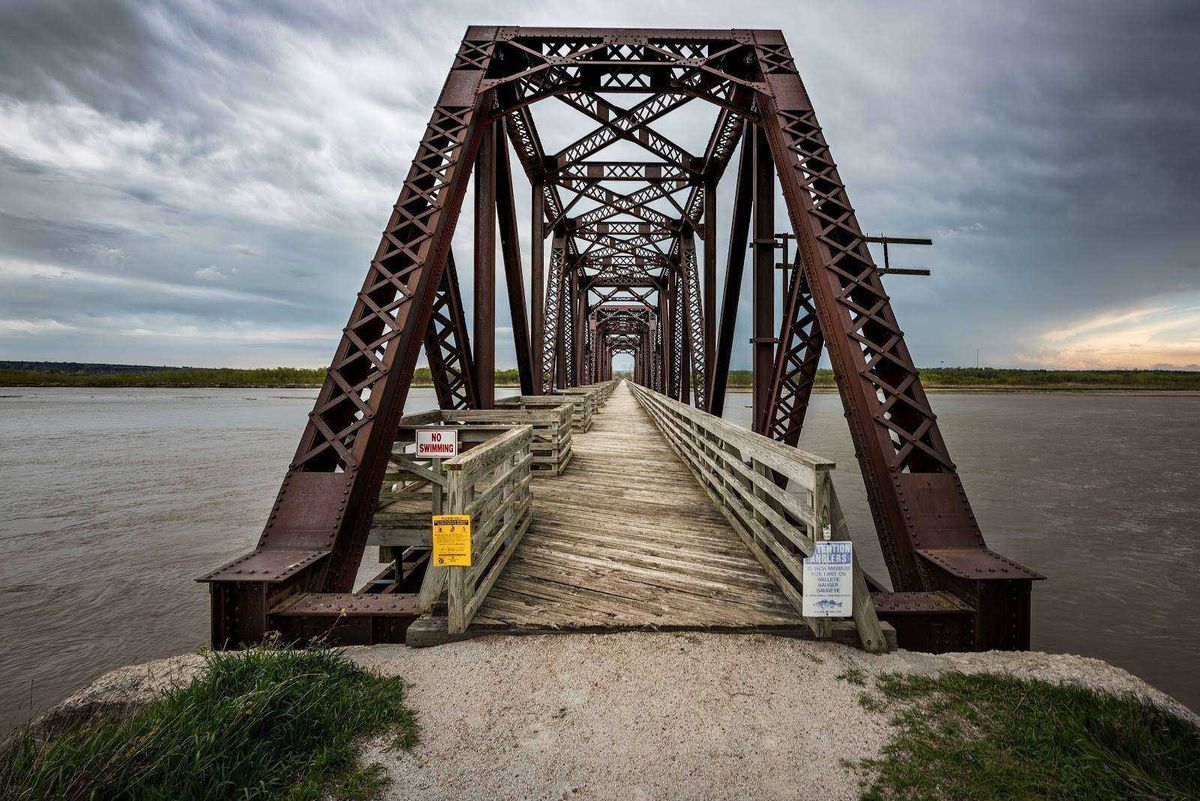
Niobrara State Park is located in the Northeast of Nebraska along the banks of the Missouri and Niobrara River. To get there, you’ll take the Outlaw Trail Scenic Byway (Nebraska Route-12) that runs along the banks of the Missouri River and crosses over the Niobrara.As always, for those who like doing things the easy way, here are the GPS coordinates for accessing my favorite attractions at the park:
Niobrara Trailhead: 42.766186, -98.051404
Niobrara River Bridge: 42.766873, -98.049174
Resources
Website: www.outdoornebraska.gov
Hours of operation: www.nps.gov
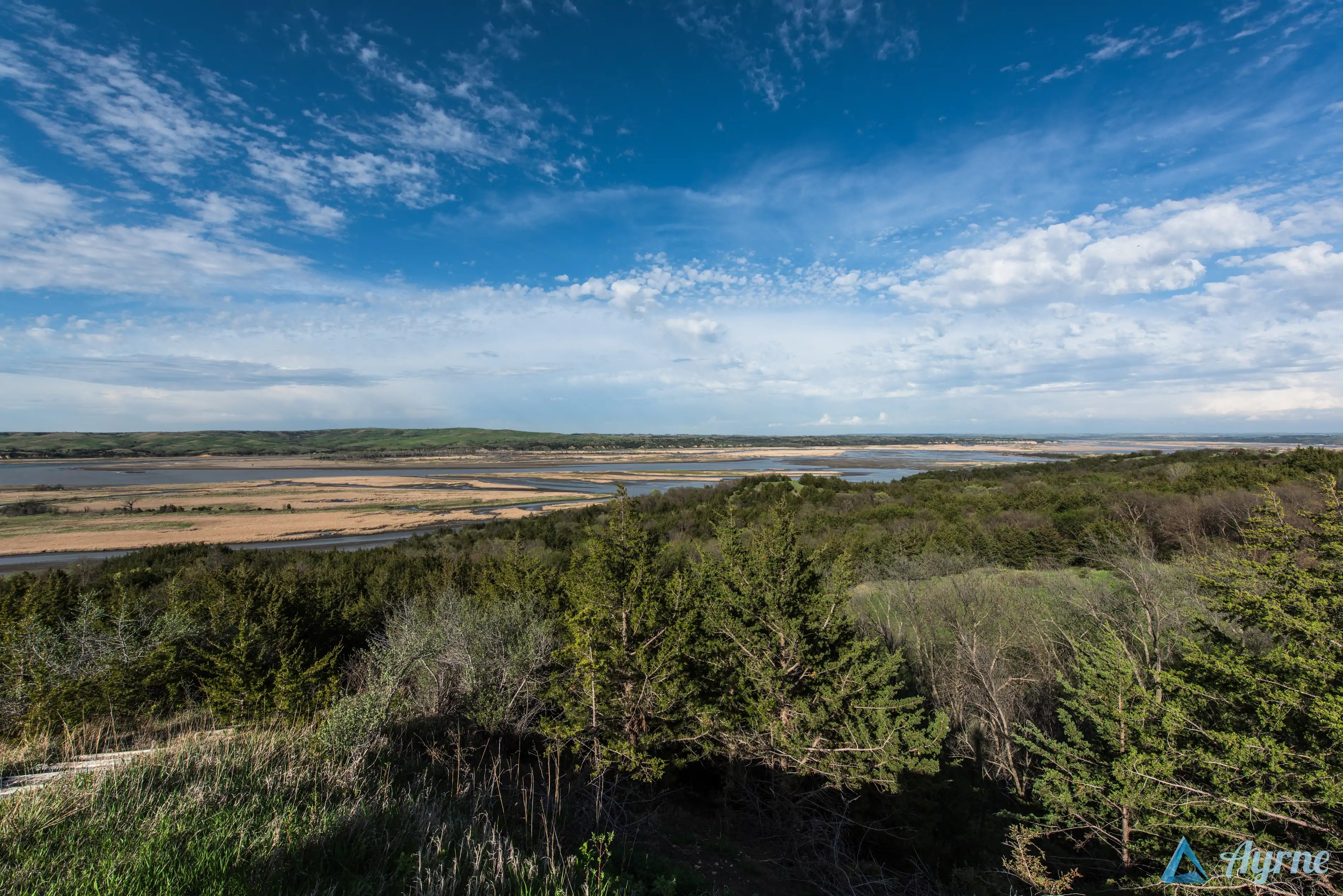
The Experience
There’s lots of prairie to be found in the Midwest, but this area is particularly attractive with it’s rolling hills and convergence of a number of rivers and creeks. The sandy colored cliffs along the banks of the Missouri River and the vastness of it really lends to an incredibly scenic and refreshing experience.
Image credit: All images are copyright Benjamin Frederick Sullivan